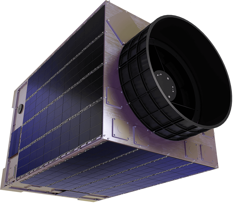
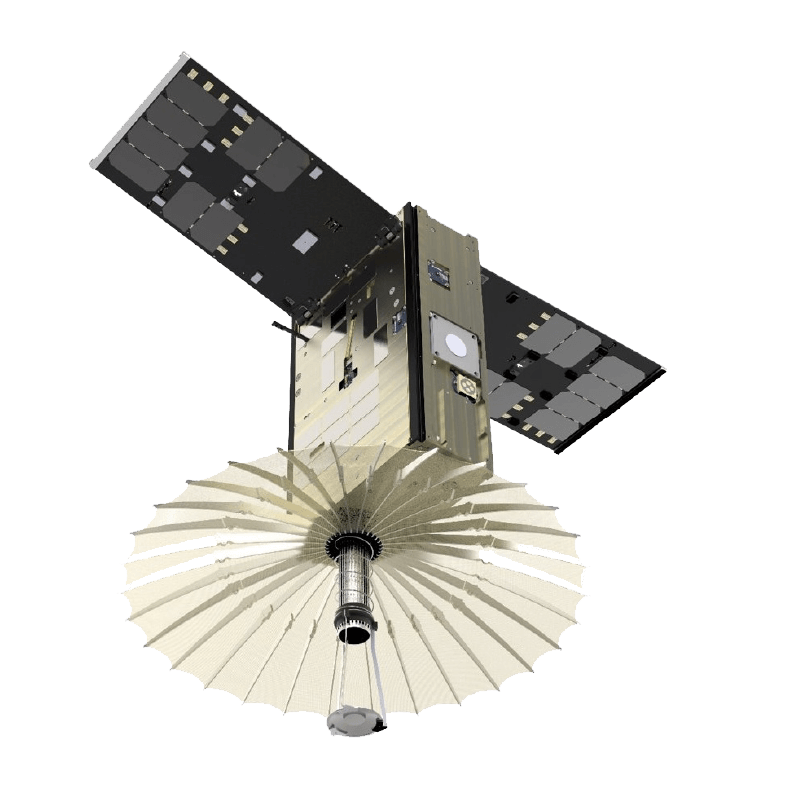
Terran Orbital Unveils Next-Generation SmallSat GEO™
Terran Orbital is revolutionizing the satellite market with its SmallSat GEO™ solutions. Designed for the defense and communications industry, these satellites provide a small satellite option in geosynchronous orbit. The spacecraft is highly customizable, based on mission needs. It provides high performance and power in a compact design at a significantly lower cost, with a faster delivery timeline than traditional GEO.
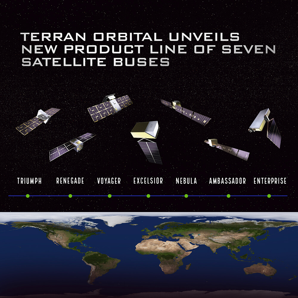
Elevate Your Mission Success with Terran Orbital's Innovative Spacecraft Platforms!
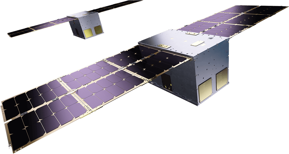
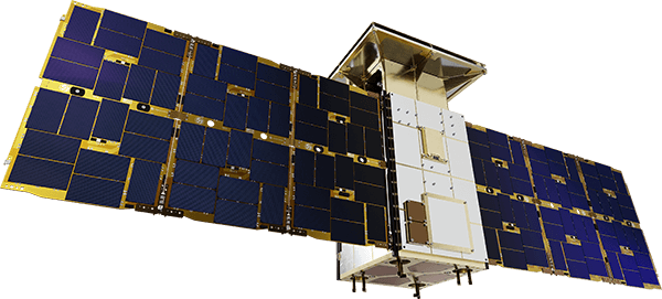
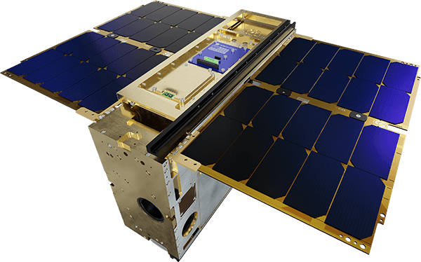
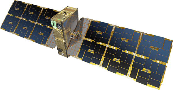
Terran Orbital proudly introduces our cutting-edge lineup of standard spacecraft platforms, setting a new standard in satellite technology and innovation. These platforms come with interchangeable components and modules, allowing you to customize and configure your satellite for various sizes and mission requirements. Whether you’re advancing scientific research, enhancing national defense, or revolutionizing commercial applications, Terran Orbital’s spacecraft platforms empower your mission to reach new heights.
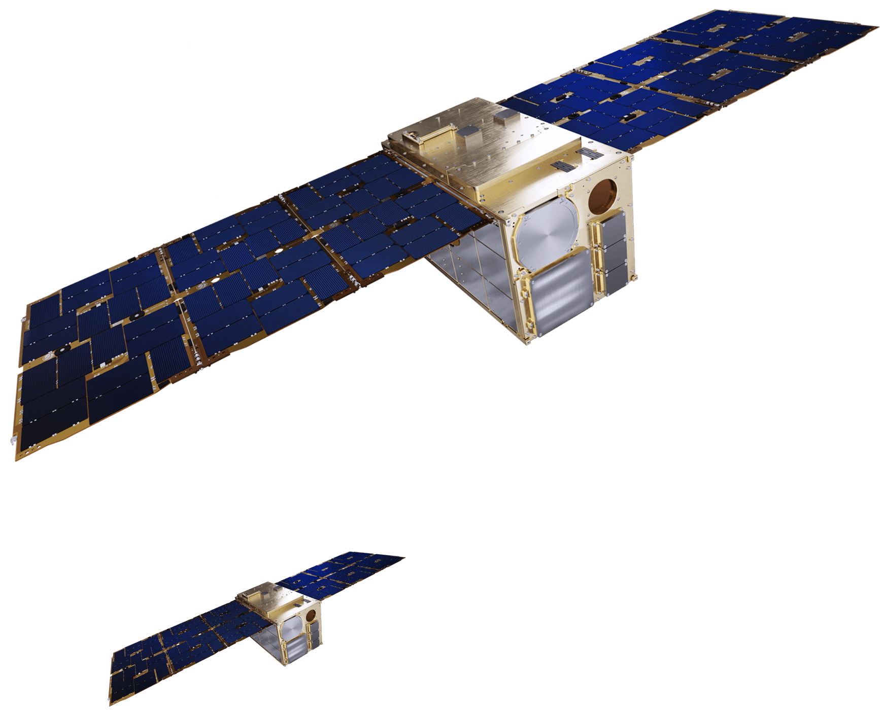
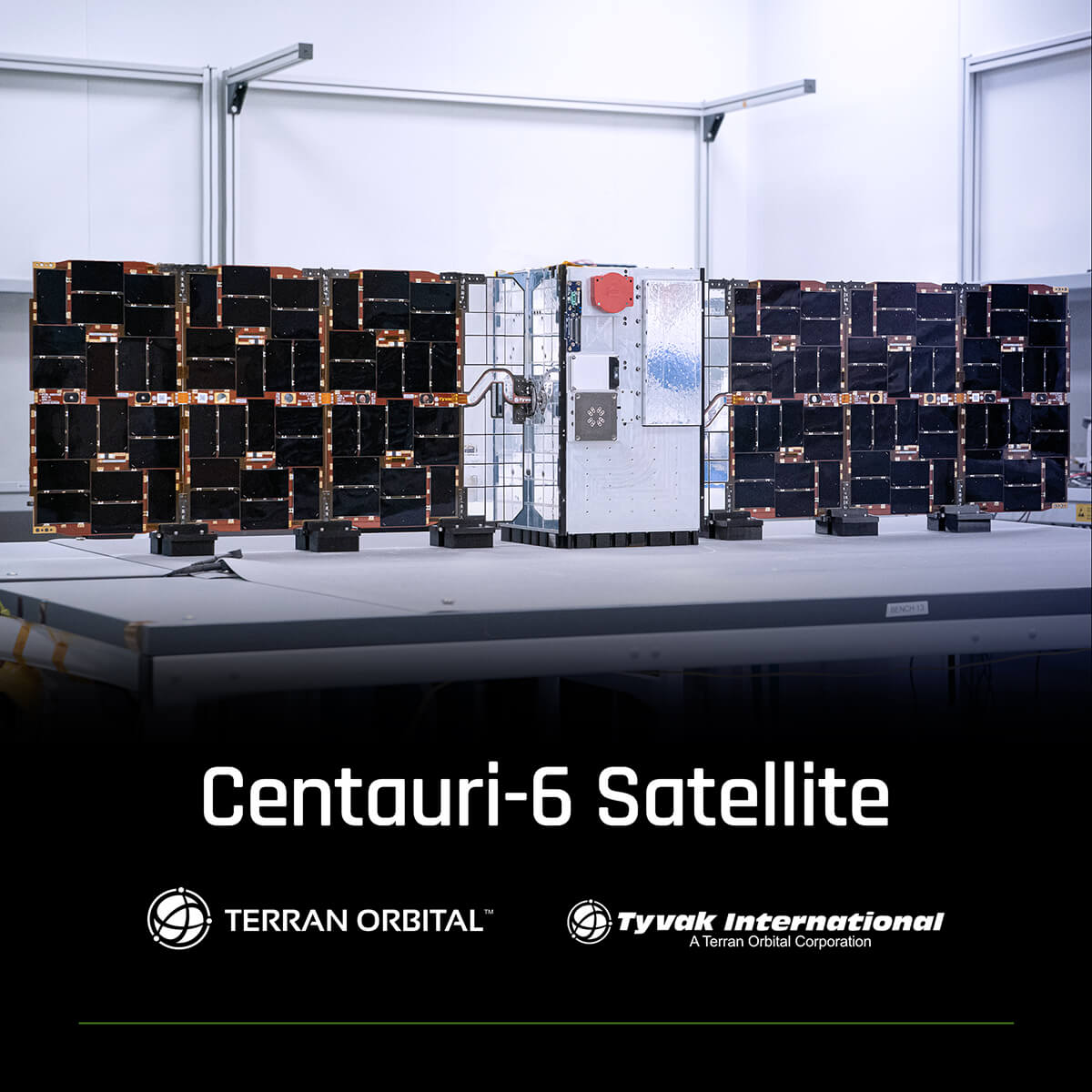
Terran Orbital’s Tyvak International Centauri-6 Satellite Successfully Deployed into Orbit
Tyvak International SRL announced the successful launch of Fleet Space Technologies’ Centauri-6 satellite, which was developed in collaboration with Tyvak International.
Terran Orbital’s Tyvak International Centauri-6 Satellite Successfully Deployed into Orbit
Tyvak International SRL announced the successful launch of Fleet Space Technologies’ Centauri-6 satellite, which was developed in collaboration with Tyvak International.
Terran Orbital’s Tyvak International Secures European Defense Agency Contract for Pioneering VLEO Satellite Project
Tyvak International SRL announced a secured service subcontract for the European Defense Agency’s (EDA) Hub for EU Defense Innovation (HEDI) proof-of-concept prototype 2023. This groundbreaking project focuses on Very Low Earth Orbit (VLEO) satellite exploration, marking a significant leap forward in military space technology.
Terran Orbital Regains Compliance with NYSE Continued Listing Standards
Terran Orbital announced that it received a notice from the New York Stock Exchange on March 29, 2024 stating that the Company has regained compliance with the minimum stock price continued listing standard set forth in Section 802.01C and will be removed from the NYSE’s noncompliant issuers list.
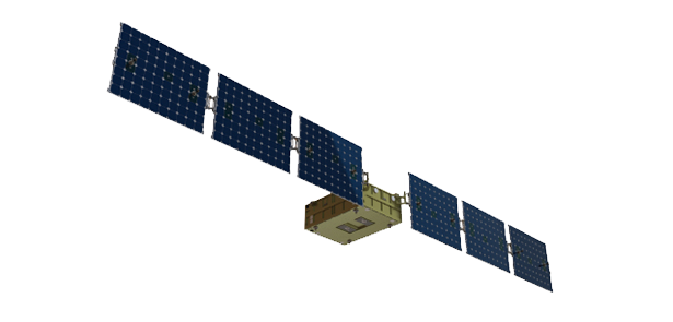
Terran Orbital Subsidiary Tyvak International’s Milani Satellite Delivered to the European Space Agency for Hera Mission
Tyvak International SRL, a wholly-owned subsidiary of Terran Orbital Corporation and a leading European nano and microsatellite manufacturer based in Torino, Italy, today announced that they have completed the formal delivery of the Hera Milani satellite to the European Space Agency. For this historical event, a ceremony was held on March 14th at Tyvak International’s premises in Torino, Italy.
Terran Orbital Unveils Next-Generation SmallSat GEO™ Solution
Terran Orbital announced their entrance into the small satellite geosynchronous orbit (GEO) market with their SmallSat GEO™ solution for satellites above 500kg. This will be unveiled at the SATELLITE 2024 trade show, happening March 18-21 at the Walter E. Washington Convention Center in Washington D.C. Visit us at Booth #2251 and experience our next-generation SmallSat GEO™ solution through immersive augmented reality.